Topographical LAND surveys from Amber Utilities
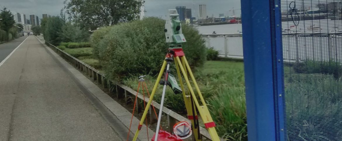
At Amber Utilities Ltd (AUL), our experienced team of surveyors are able to visit a site and gather a topographical data of the area using the latest robotic total station and GPS roamer technologies technology. With this data we’re able to produce high quality, exceptionally detailed topographical surveys in both 2D and 3D formats.
Covering projects large and small
Our experienced surveyors have worked on numerous projects ranging from small scale housing projects, to multi-million pound framework agreements. So no matter the scale of the project, large or small we’re able to help.
All of our surveys are carried out to the high standards of the Royal Institution of Chartered Surveyors (RICS) standard specification and produced in AutoCAD DWG, PDF, DXF or Revit.


